-40%
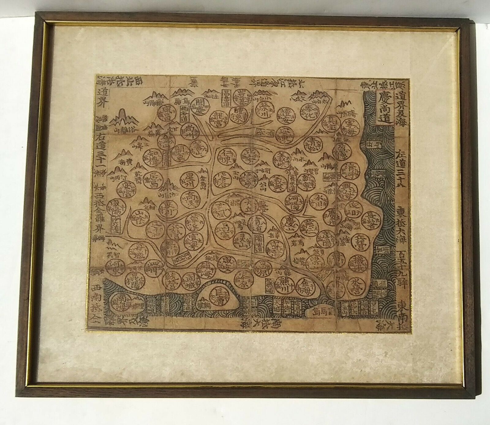
Antique 1800's Traditional Korean Woodblock Manuscript Atlas Map
$ 498.96
- Description
- Size Guide
Description
An antique, possibly 1800's, rare Korean map featuring a specific province. The map comes from a traditional Korean manuscript atlas.A traditional Korean manuscript Atlas
Chonha-Chido
(Atlas of the world) comprehends a map of the world
Chonha-Do
, a map of Korea, maps of China, Japan, the Ryukyu Islands and regional maps of the eight provinces of Korea.
Black ink on thin paper, wash colors in red and blue. This is possibly a woodblock. The map is framed and is laid down on fabric and spanned on a wooden frame.
The frame measures~ 17 1/2" x 15 1/4".
Condition: the map looks to have been originally folded and so there are fold seams/marks and wear along those lines. The paper has aged over time and yellowed. There is a water stain along the bottom left hand corner of the fabric which does not impact the map. Please see pics for condition.
